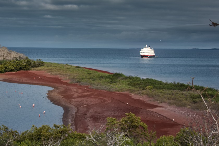
In the south eastern corner of Svalbard is the multifaceted Hornsund fjord. Considered by many to one of the more spectacular fjords in the archipelago it boasts numerous bays, mountains and glacial valleys. We arrived on a glorious sunny morning. Our boat group was near the end of the list so we had plenty of time for breakfast. Everyone is organised into small groups, approximately a boat full. The groups are called down in turn to the hull opening where we actually board the RHIBs. This keeps things moderately orderly and avoids queues. The order in which groups are called rotates each excursion, so sometimes you get off early and other times you have to wait. Waiting, in this case, involved breakfast so I thought this was ideal. Meals are all served as a buffet. The food is very good. Possibly the best we have ever had on a cruise ship. As vegetarians, we feel that sometimes we get a bit of poor deal. This breakfast was lovely. The man cooked me a cheese and onion omelette which I had with a hash browns. Yogurt on the side with fresh fruit, seeds and nuts. A large cappuccino. Good start for the day.


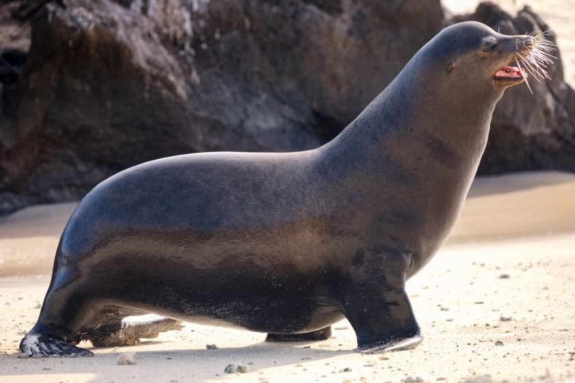
The landing at Burgerbukta was pleasant. Terrific views of mountains and glaciers. We walked up a small slope to a viewpoint. On the way back down I spotted a seal in the water. Spent a while sneaking up on it to get a better photograph but it made sure I did not get too close. I also stood on a rock almost a meter from the edge of the shore. Much to my surprise, I did not get told off. Perhaps no-one spotted my reckless gymnastics.


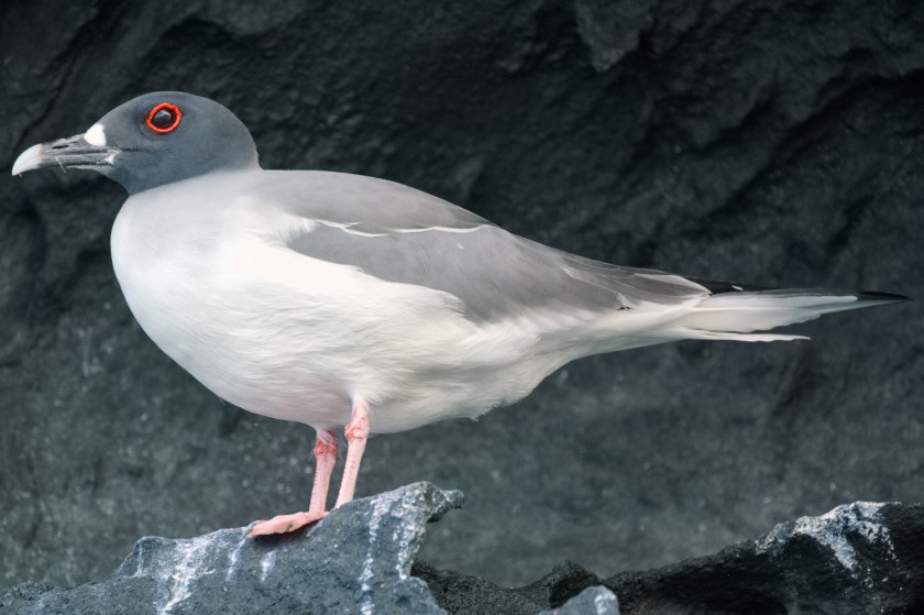
In the afternoon we had a second landing, at Gnålodden. There is a large bird cliff here. Many seabirds were soaring and swooping overhead. Mostly kittiwakes and guillemots. Very noisy. We had a gentle walk and spotted a pair of young kittiwakes (I think) nesting on a ledge. Our evening excursion was into an inlet opposite the Gnålodden landing site. Here the Spitzbergen sailed in close to the calving edge of the glacier. A spectacular way to end the day.


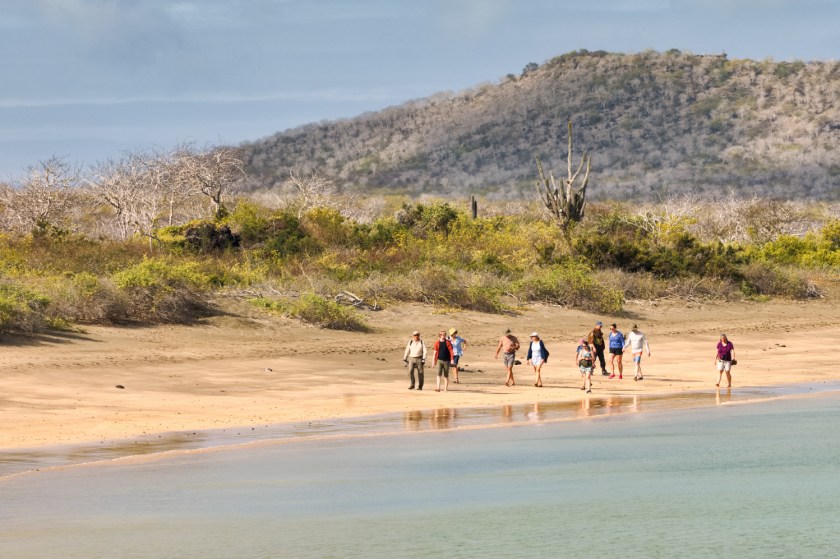
By the following day we had left the Hornsund fjord and were heading north again ever closer to Longyearbyen. We landed at Calypsobyen, another failed coal mine. Decrepit huts and rusting metal are all that remain. These still count as historic relics though so strictly no touching.
In the afternoon we landed at Bamsebu and more relics of another way of life. There were bones here. Great piles of bleached white bones from walrus and seal but mostly beluga whales. All left over from the hunting activities of yesteryear. The beluga would come into the shallows of the bay to feed and then get harpooned from a small rowing boat. Wooden winches on the beach were used to drag the bodies ashore for flensing. Even these bones, the rubbish from a way of life that thankfully died out decades ago, are relics and must be carefully sidestepped.


Our final day exploring Svalbard began at Trygghamna and the cliffs of Alkhornethosted. Reputedly home to 10,000 nesting pairs of seabirds. I can confirm that there were certainly a lot of them. We also saw a few reindeer here. Little Svalbard reindeer with thick woolly coats. The afternoon was spent boat cruising at Ymerbukta in front of the grumbling Esmarkbreen glacier. Up close to the glacier you could see some of the incredible complexity built by hundreds of years of snow being laid down to become ice. Though the odd crack, a cross section into a crevasse or an ice cave you could spot the deep, dark intense blue colour of ancient ice. Our guide assured me that the colour comes from refraction in the ice. Actually it comes from absorption, the same effect that makes the sky blue. It did not seem worth arguing the point at the time. Whatever it is caused by, it is spectacular in a rather eerie and menacing way.


We docked at Longyearbyen late in the evening. But before we got there, we sailed up past Barentsburg. The second largest settlement in Svalbard is Russian. A mining settlement established in the 1920s by the Dutch and then sold to the Russians. Svalbard is under Norwegian sovereignty but all signatories to the Svalvard Treaty of 1920 have equal rights over the exploitation of natural resources. Russia has continued mining operations there despite a few incidents such as a major underground fire in 2006. Since the invasion of Ukraine the situation has become increasingly fractious and delicate. Although Barentsburg is only 55 km from Longyearbyen there are no connecting roads and there is only very limited contact. The Spitzbergen did not get very close to the town but we could clearly see the mine buildings, power stations and accommodation units. It all smacked of that soviet era efficiency and purposefulness. We did not see any people. No-one appeared to be walking outside at all.


Next morning, very early , we were bundled onto the plane and before lunch we were back in Oslo collecting the car on a 30°C sweltering summers day. We took a steady drive back to the ferry at Rotterdam over several days. This gave us time to call in on a few friends. The inimitable Lars and Inge are still going strong despite a few health scares. As we left they were surrounded by daughters and grandchildren in a very solid and endearing family scene. We also spent a lovely few hours with Silke and Carston who have a fantastic house on the island of Sylt. We missed Kai in a confusion of dates. Sorry – next time, Kai. At the port border control we had a slightly odd discussion with the passport man who could not understand how we had been in Norway but outside of Schengen. I showed him the stamps in my passport and wondered why I was having to explain how the Schengen border works to a Schengen border official. Eventually he just muttered something and waved us on. A border guard that does not know his borders. Eventually we were on the ferry to Hull toasting the end of another trip and preparing for the dull thud of dropping into reality.